Washington State home of Mts. Rainier, Mt. Baker, the legendary Mt. St. Helens and others.
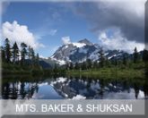
Mount Baker, also known as Kulshan, is an active volcano in the North Cascades. It has the second-most thermally active crater in the Cascade Range after Mount Saint Helens and is the secondmost heavily glaciated of the Cascade Range volcanoes. At 3,286 m (10,781 ft), it is the third-highest mountain in Washington State. It´s visible from Victoria, Nanaimo, Vancouver in B. C. and from Seattle in Washington. It´s named after 3rd Lt. Joseph Baker of HMS Discovery, who saw it on April 30, 1792.
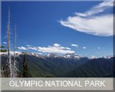
Olympic National Park has four regions: the Pacific coastline, the alpines, the rainforest and the drier east side forests. Within the center of Olympic National Park rise the Olympic Mountains which is dominated by the peak of Mount Olympus (7,965 feet = 2,428 m).. That has several glaciers, the largest of which is Hoh Glacier at 3.06 miles (4.93 km) in length. The Hoh Rainforest in the West receives annual precipitation of about 150 inches (380 cm), making this perhaps the wettest area in the continental United States
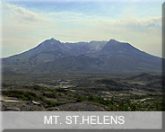
Mt. St.Helens is most famous for its major eruption in 1980 which was the most deadly volcanic event in the history of the United States. An earthquake triggered a huge debris avalanche that reduced the elevation of Mt. St.Helens from 2950 m to 2549 m. The result now is a horseshoe-shaped crater.
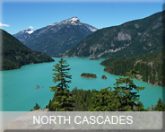
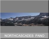
The North Cascades span the border between British Columbia (Can) and Washington State (U.S.) and are officially named in the U.S. and Canada as the Cascade Mountains. They are predominantly non-volcanic, but include the stratovolcanoes Mount Baker, Glacier Peak and Coquihalla Mountain, which are part of the Cascade Volcanic Arc.
North Cascades Panorama
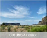
Columbia River Gorge The Grand Coulee is an ancient river bed on the Columbia Plateau created during the Pliocene Epoch (Calabrian) by retreating glaciers and floods. Originally, geologists believed a glacier that diverted the Columbia River formed the Grand Coulee, but it was revealed in the mid-late 20th century that massive floods from Lake Missoula carved most of the gorge. A huge dam was built, forming the Franklin D. Roosevelt Lake. Geological formations around Steamboat Rock State Park are fascinating visitors.
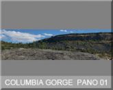
Columbia River Gorge Panorama
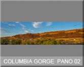
Columbia River Gorge Panorama

