home
europe
canada
u s a
law stuff (rechtliches)
canada – alberta – saskatchewan glac.
__canada__
___alberta___
<
>
images as slide show
map of the area
info text
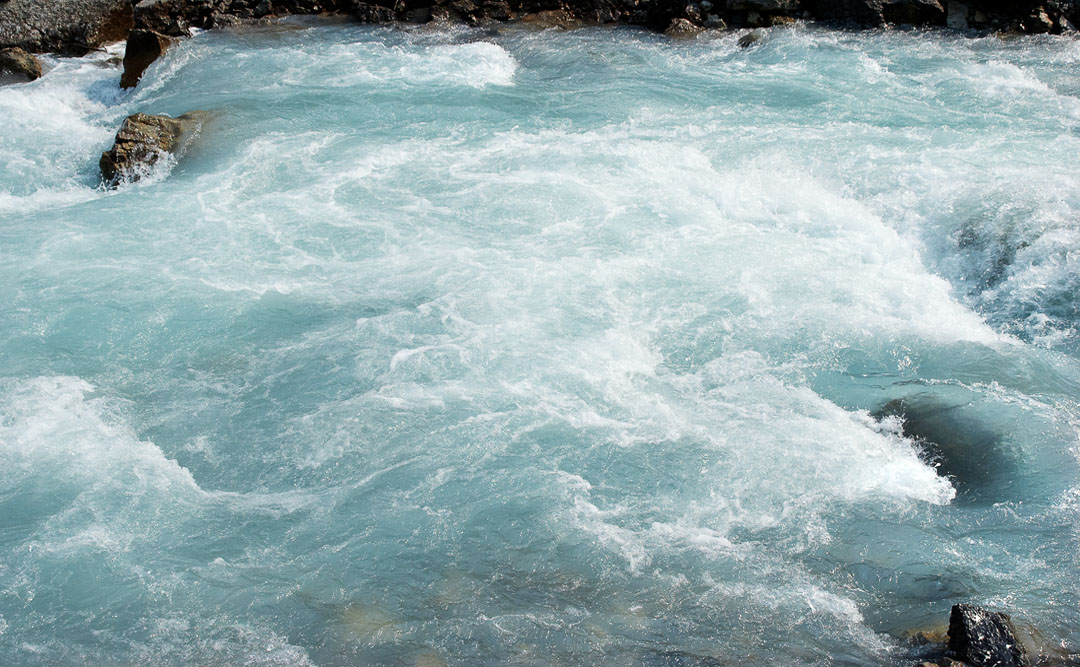
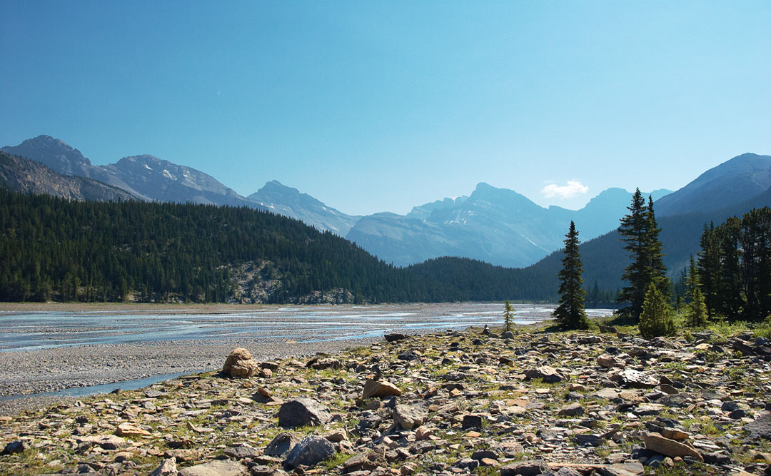
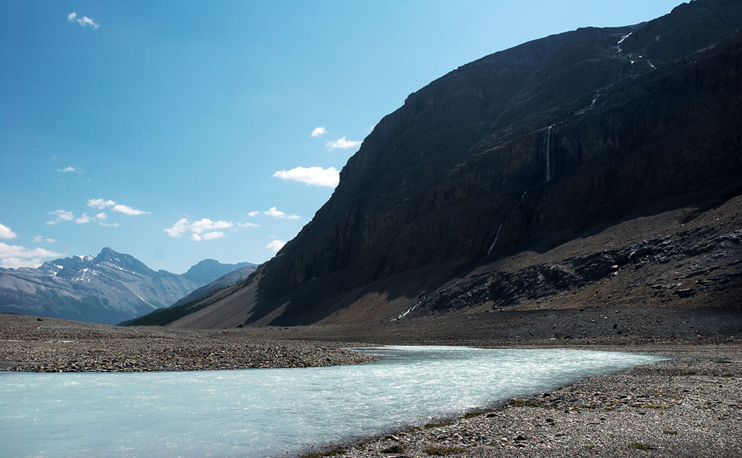
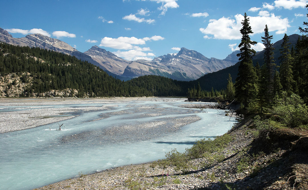
north saskatchewan river at the Ci Fuentes Path
clear, blue and wild
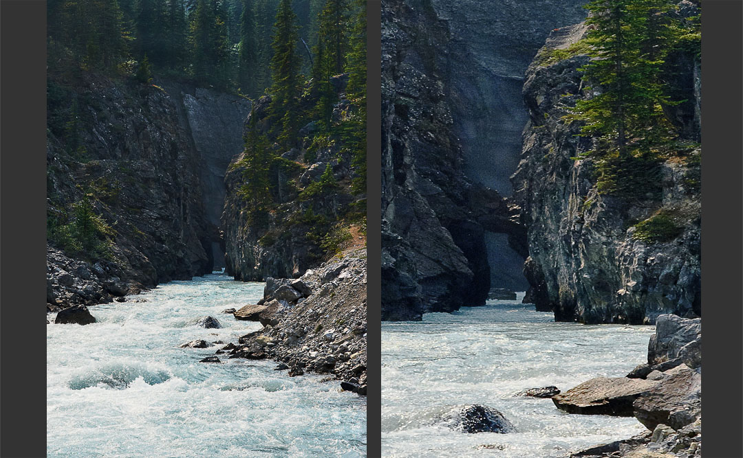
the ci fuentes path (right = teleshot)
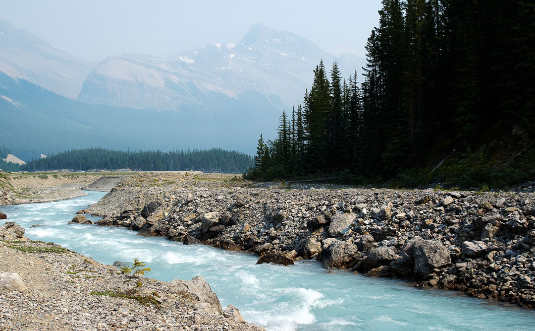
north sakatchewan as seen from the north shore at icefield pwy loop
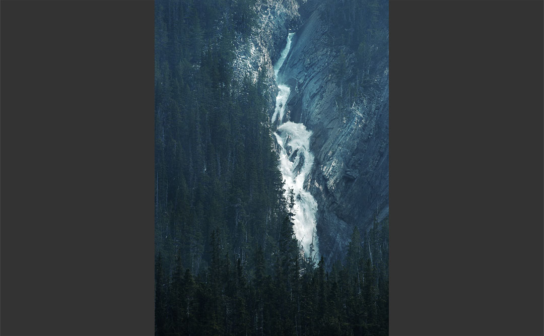
unnamed waterfall from rivers north shore
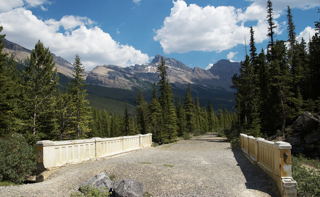
old icefield parkway bridge across the north sakatchewan. shortly behind the bridge - to the right - is the trailhead
after having passed the woode hill in center the vast plain of the sakatchewan river valley is reached. here: looking east towards the start
looking west from the same spot as before. no trail avaiable, just following the sun
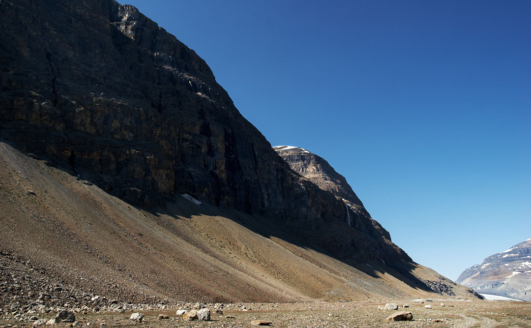
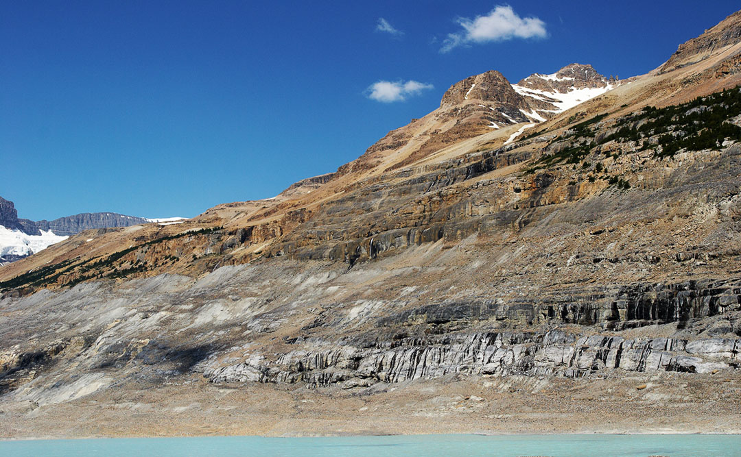
the high rock walls of big bend peak
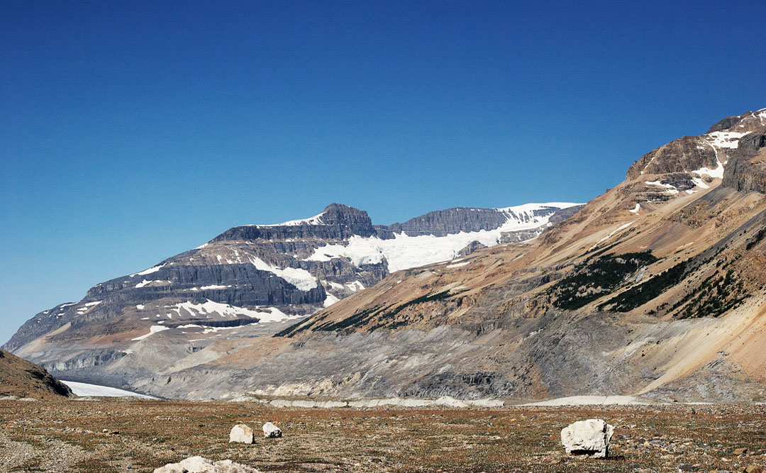
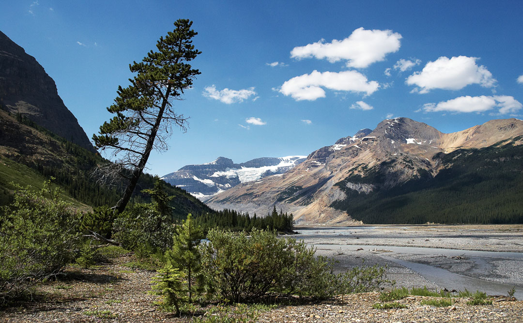
the mount andromeda group (center) and the glacier to the left
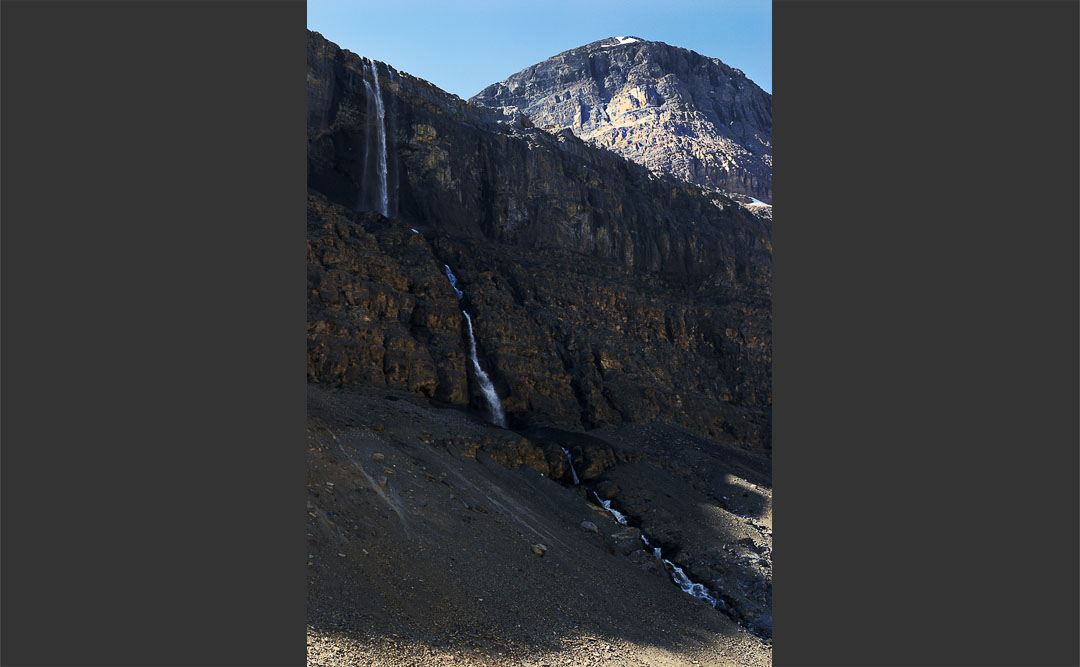
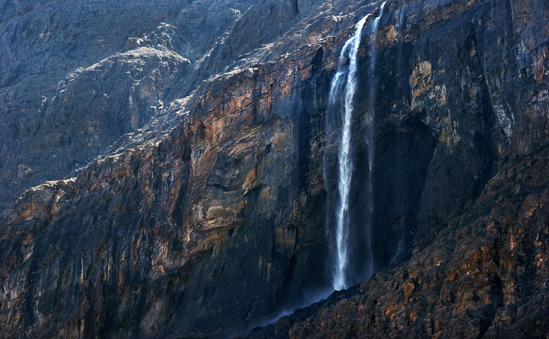
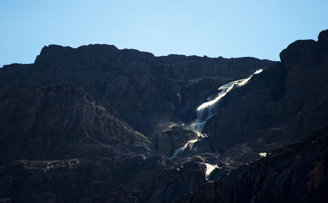
waterfall from big bend peak
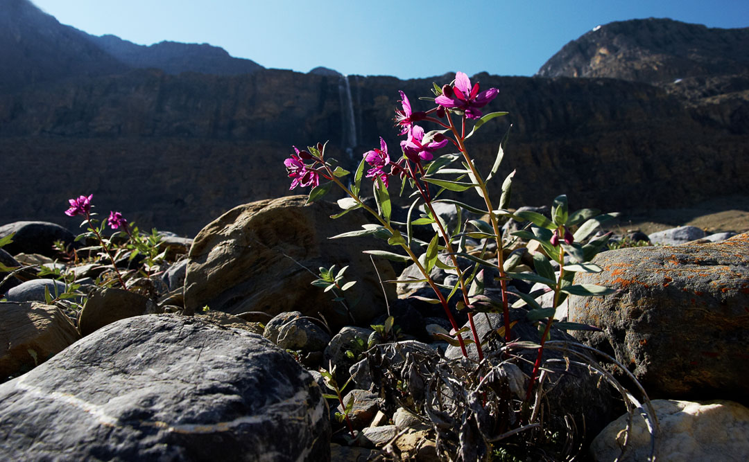
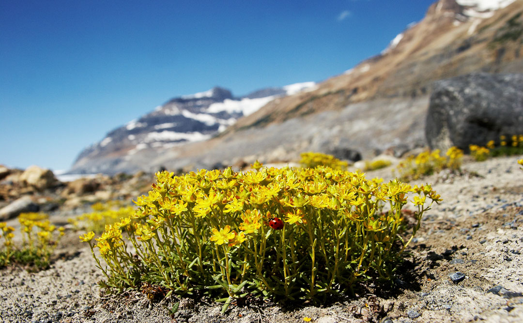
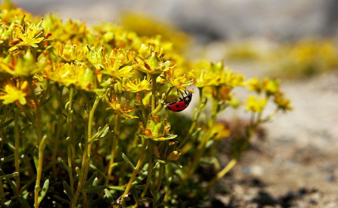
alpine flower
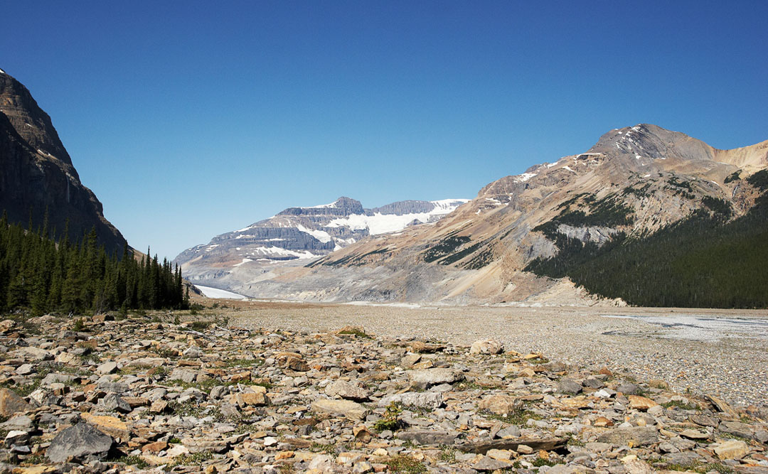
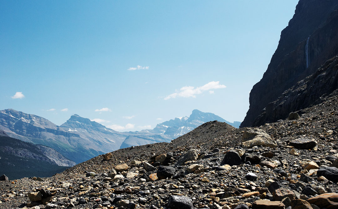
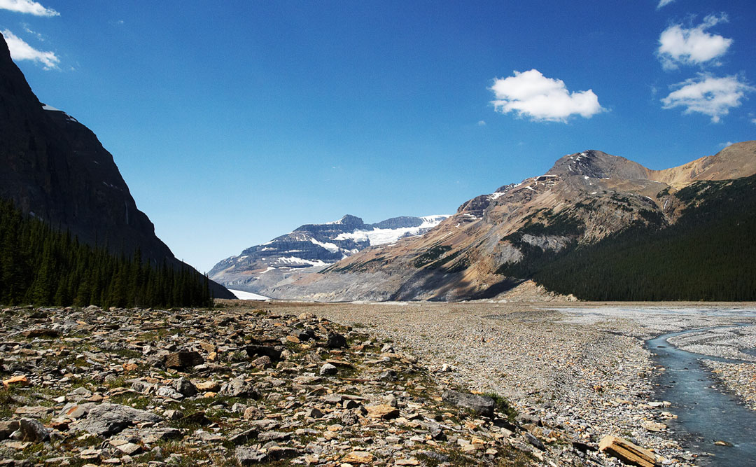
looking east from the glacier moraine
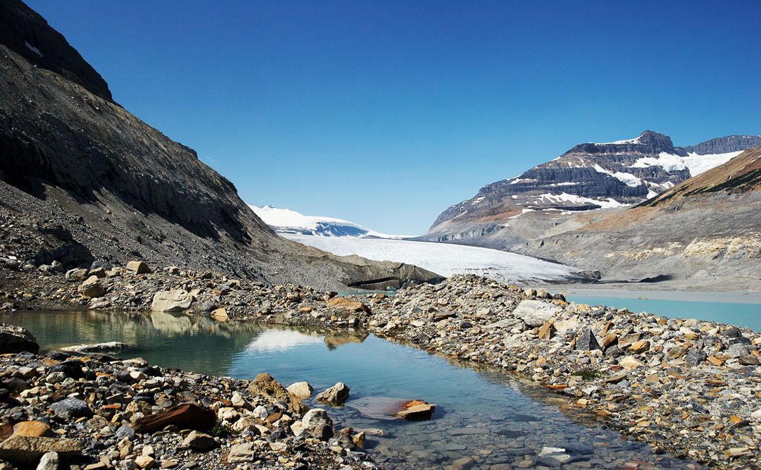
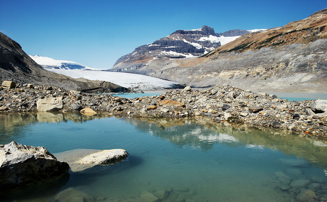
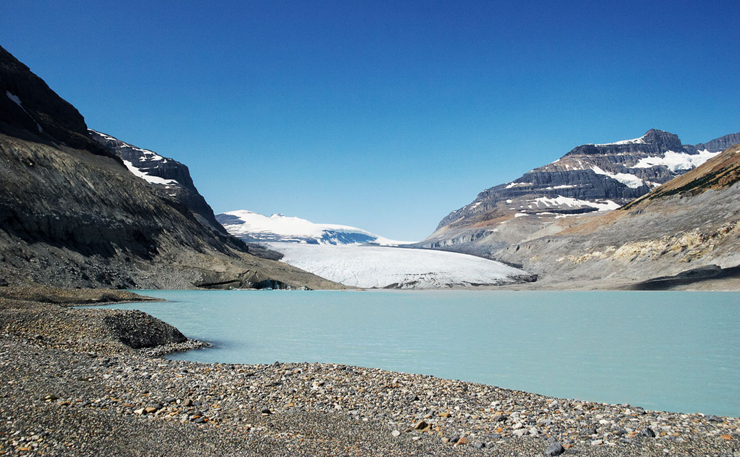
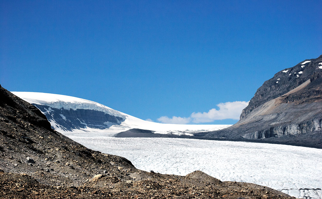
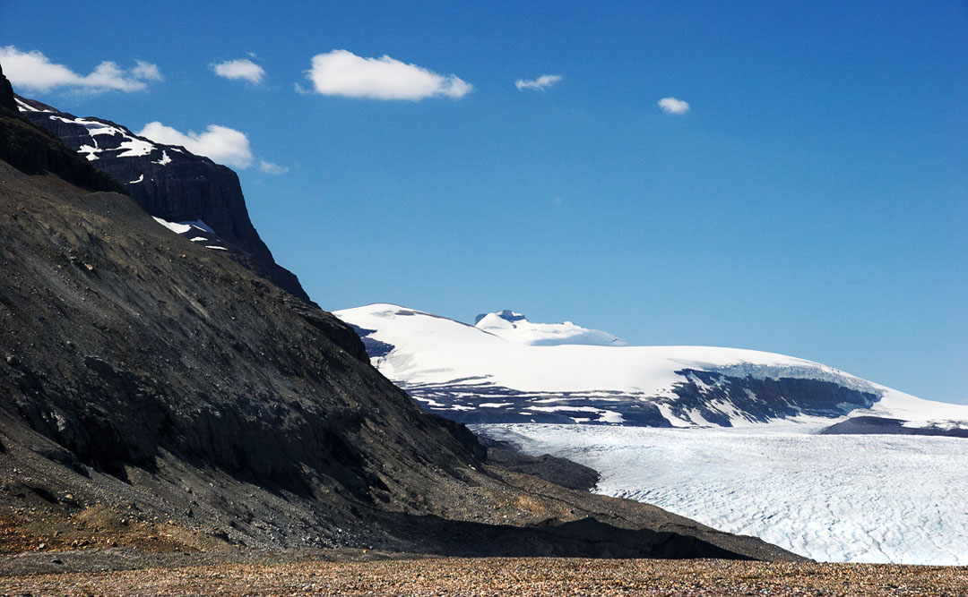
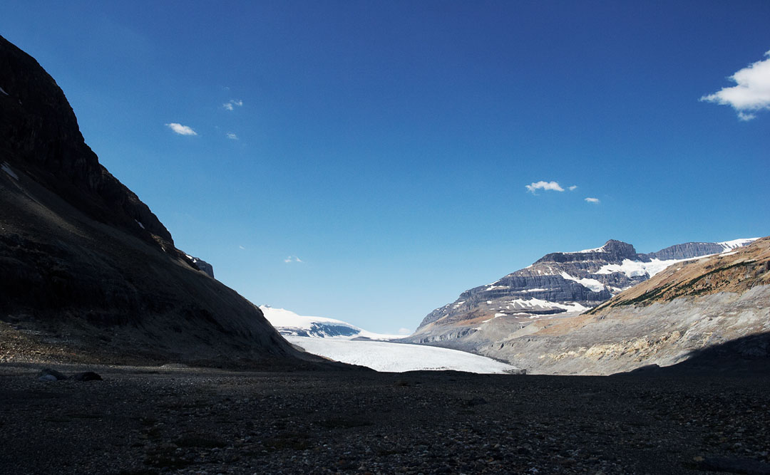
saskatchewan glacier
south minor peak of mt. athabasca
columbia icefield in the background
east view
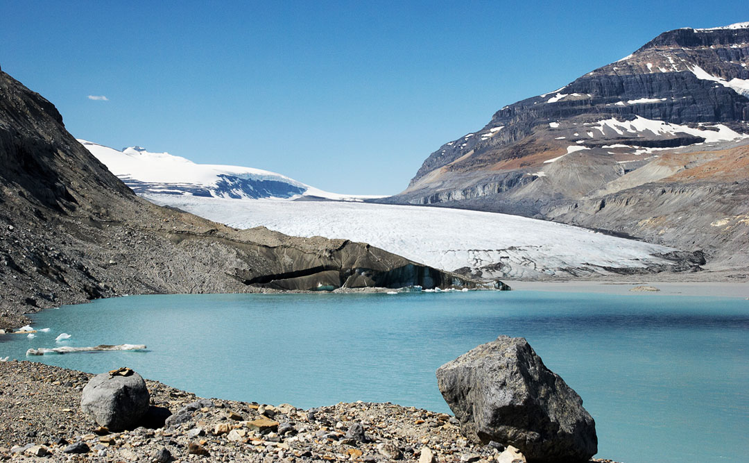
getting closer
walking on (coverd) ise: closing in to the glaciertounge
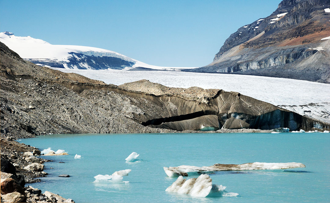
dark ice covered by moraine debris (left and center)
the lady bug
the lady bug
columbia icefield and saskatchewan glacier
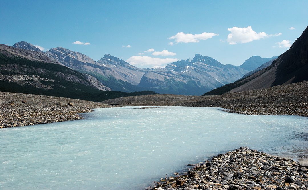
glacier lake
castleguard mountain
in the shade (of the rockwall)
the young saskatchewan
big bend waterfall
big bend waterfall (upper part)
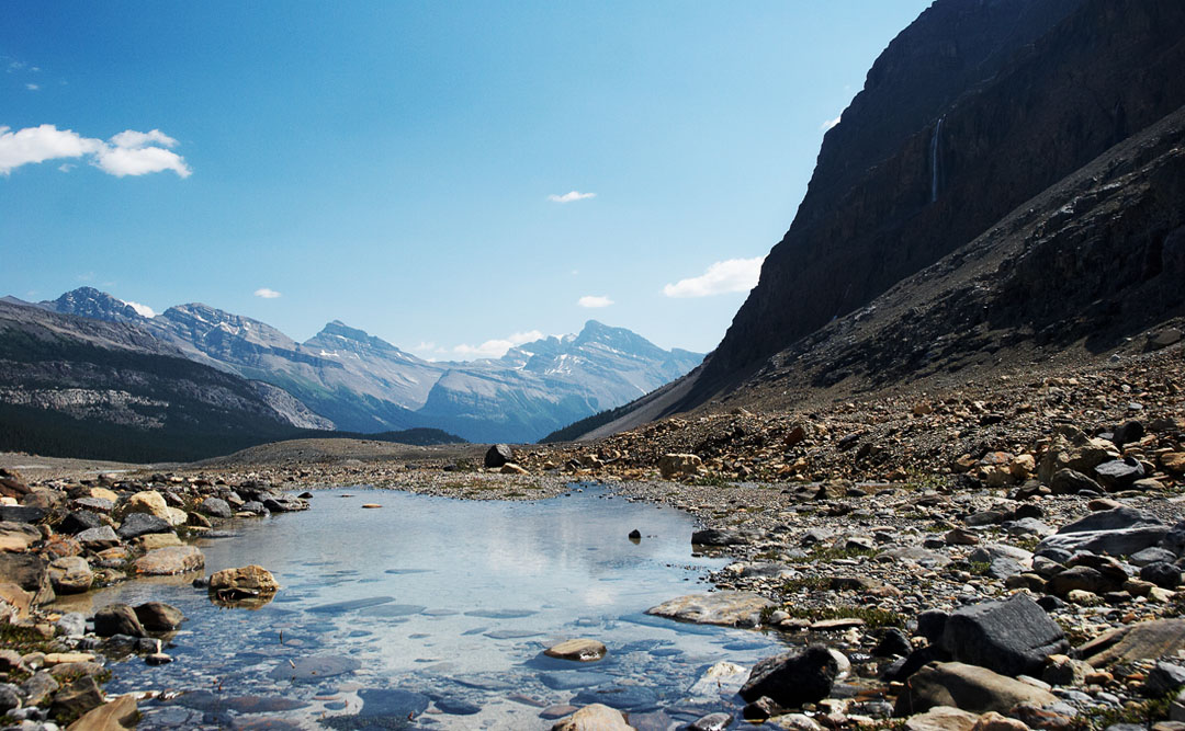
looking back
searching for an appropriate path
bye, bye saskatchewan glacier
@ opti-male
↑