home
europe
canada
u s a
law stuff (rechtliches)
bc southwest – garibaldi lake
__canada__
b.c.
southwest 1
<
>
images as slide show
area map
info text
this collection is a continuation of the panarama ridge hike and pictures.
crossing black tusk meadows
black tusk meadows
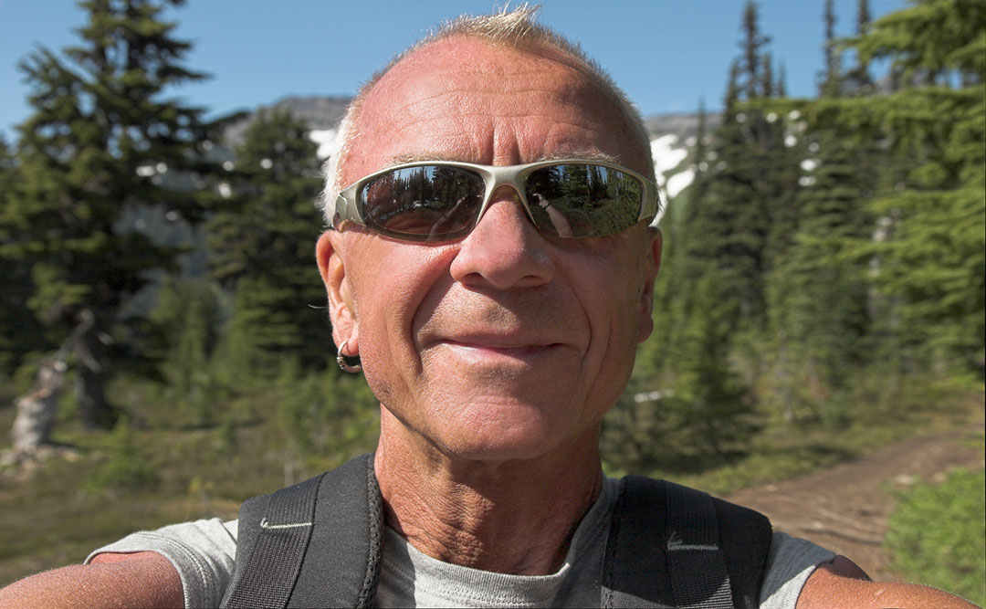
happiness after a long hike
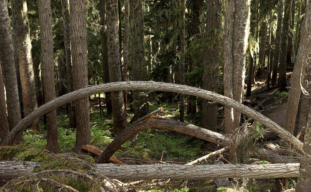
the arch
crossing upper rubble creek. garibaldi lake and gentian peak in the background
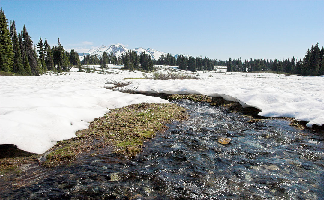
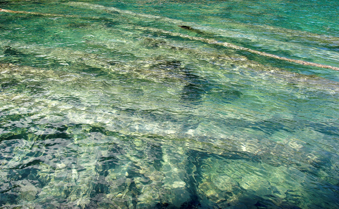
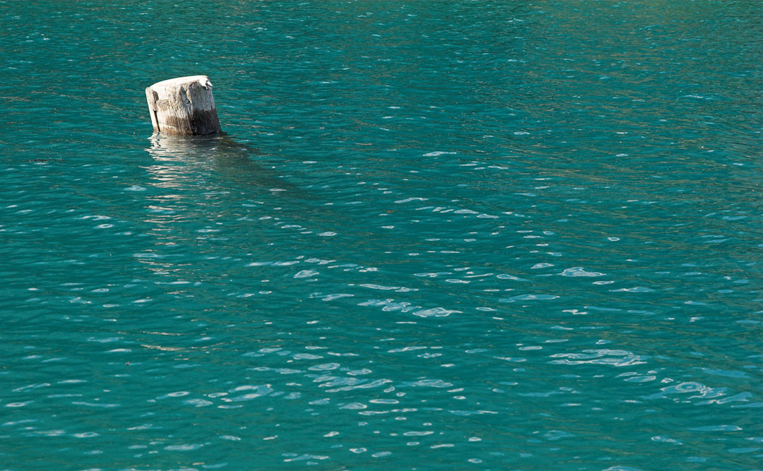
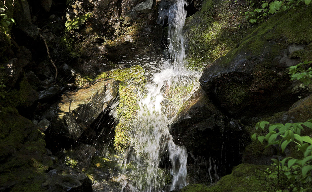
icecold and clear
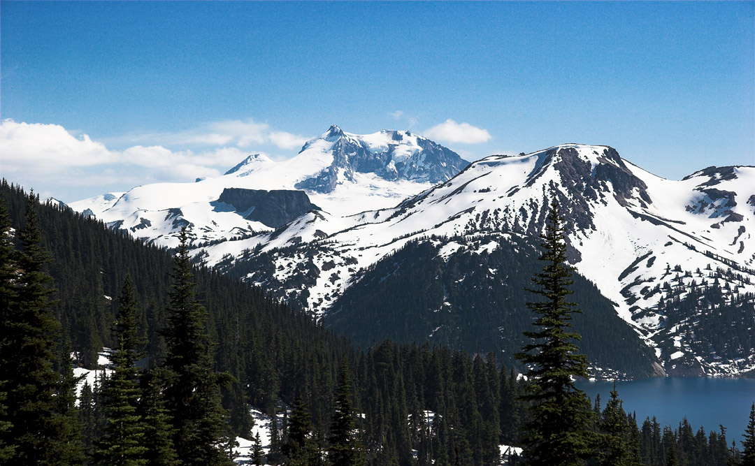
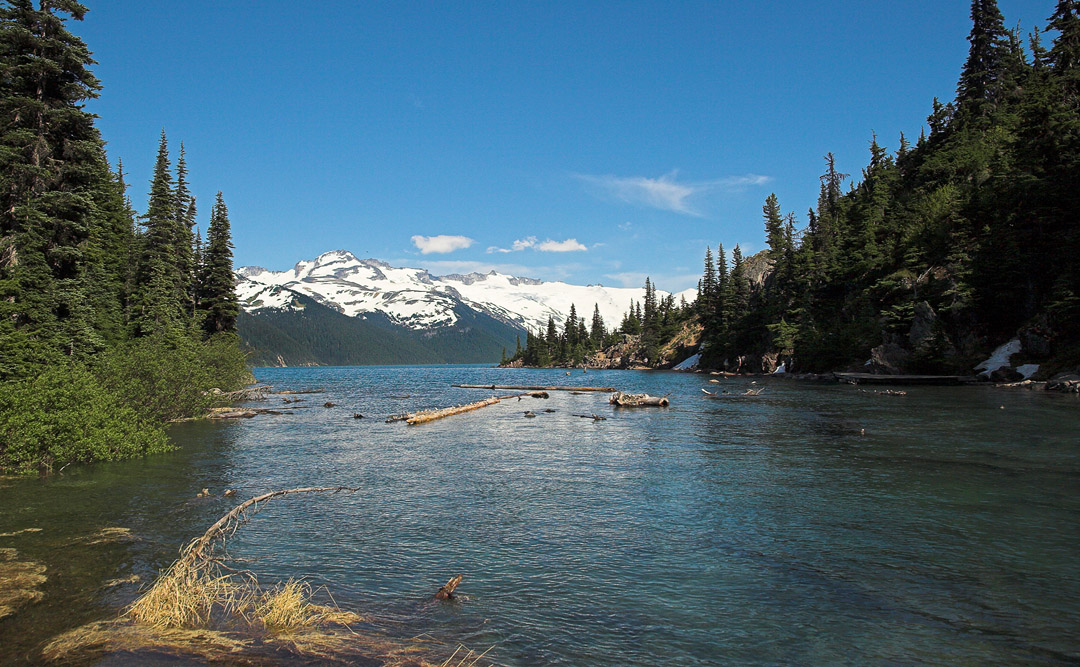
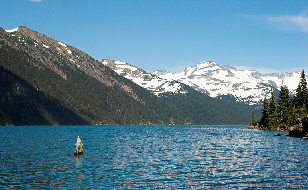
garibaldi lake with panorama ridge at the very left
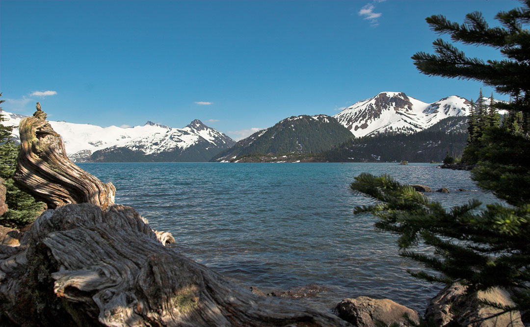
looking south. mt price in the background
leaving
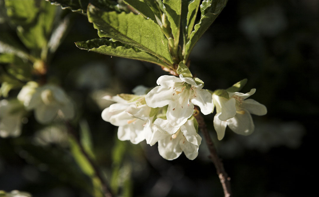
remarkable colour
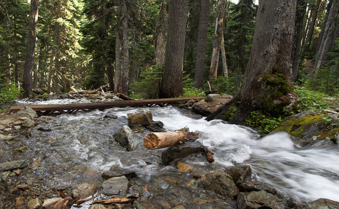
creek crossing (taylor creek)
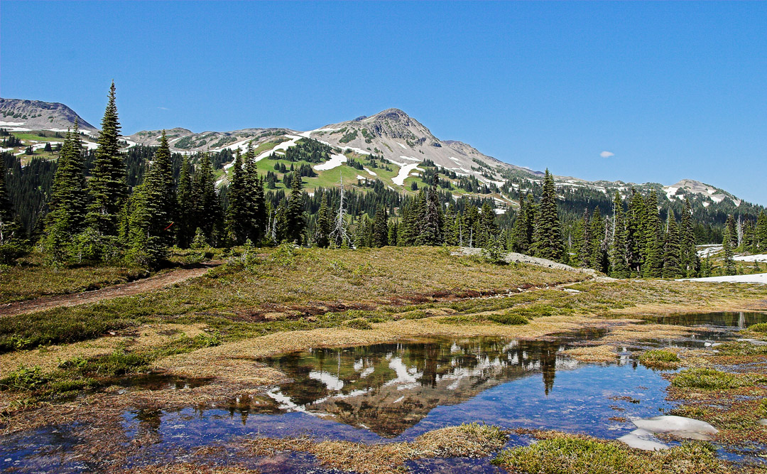
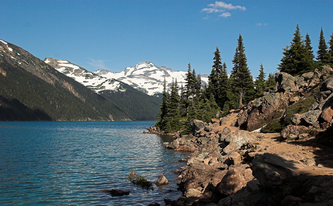
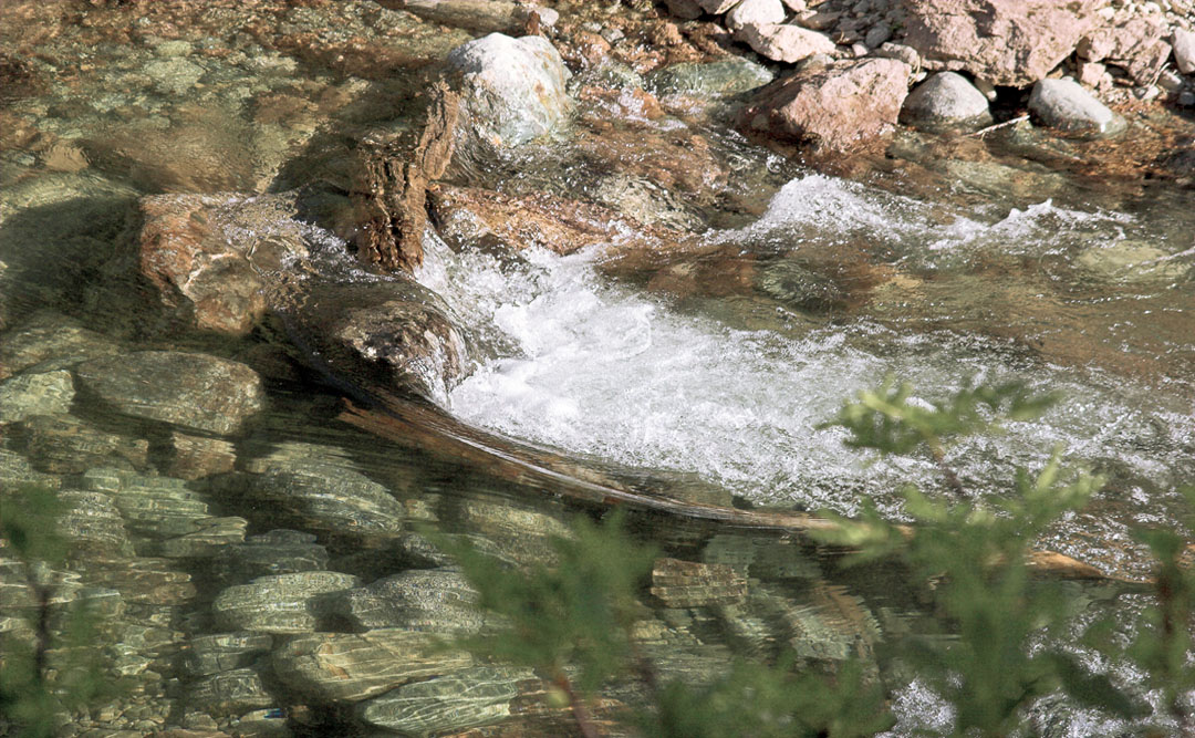
trail impression
trail impression
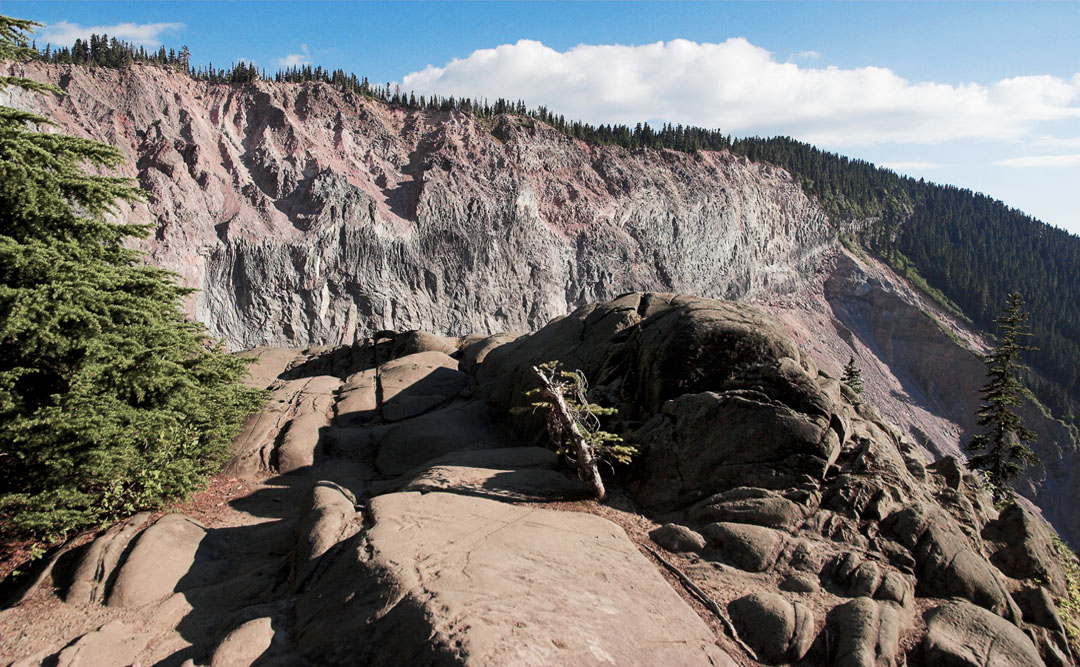
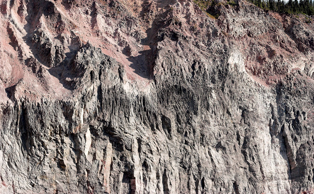
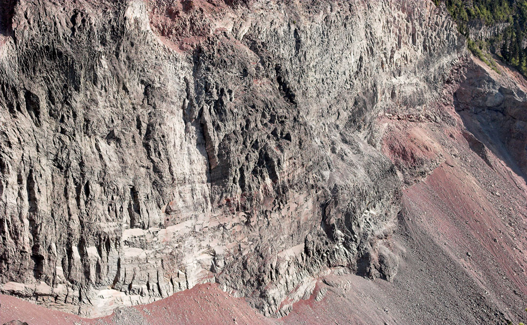
this is called "the barrier", a lava dam formed 9000 years ago
300 m thick and 2,4 km long
dangerous area
last sunrays on a beauty
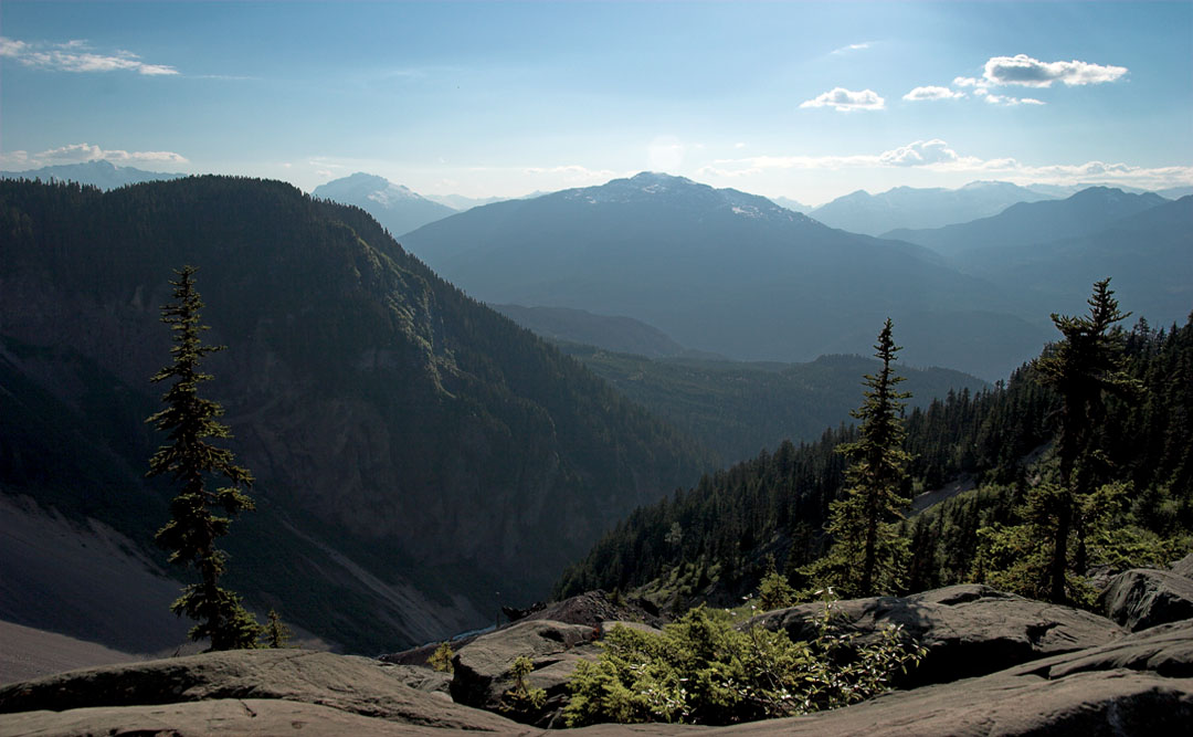
days end at chekamus river valley (as seen from the barrier)
@ opti-male
↑
This website uses cookies. When you continue to use this website I´m assuming your consent. / Diese Website benutzt Cookies. Wenn du die Website weiter nutzt, gehen wir von deinem Einverständnis aus.
OK
Datenschutzerklärung