home
europe
canada
u s a
law stuff (rechtliches)
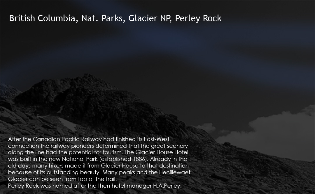
bc nat. parks / glacier nat. park / perley Rock
_canada_
b.c.
glacier nat.park
<
>
images as slide show
area map
info text
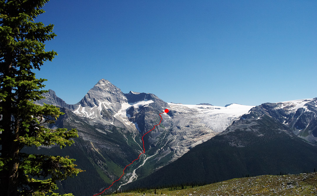
the steep trail to perley rock (without the valley part)
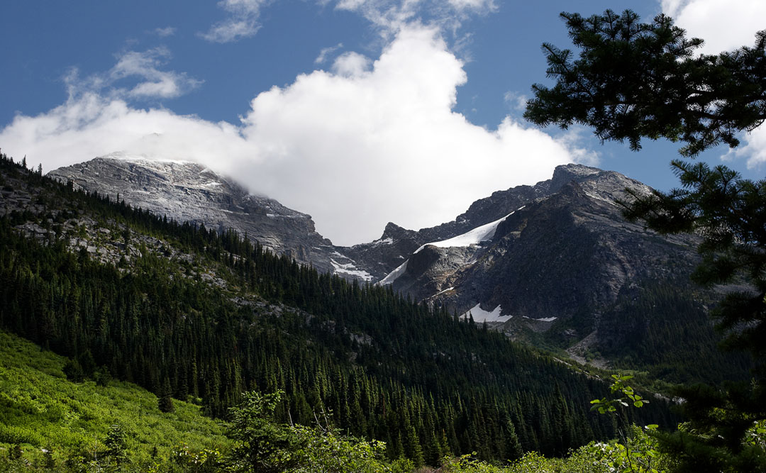
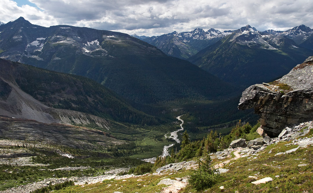
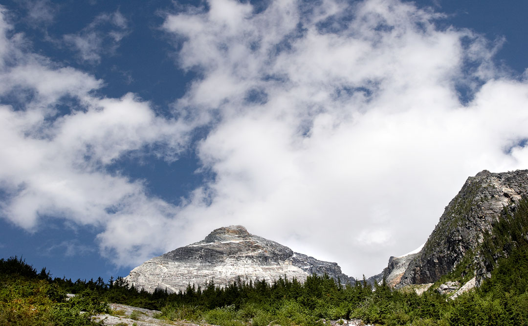
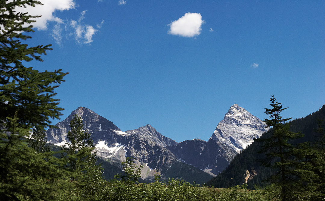
in the illecillewaet valley. Mt.sir donald in clouds
mt. sir donald (left)
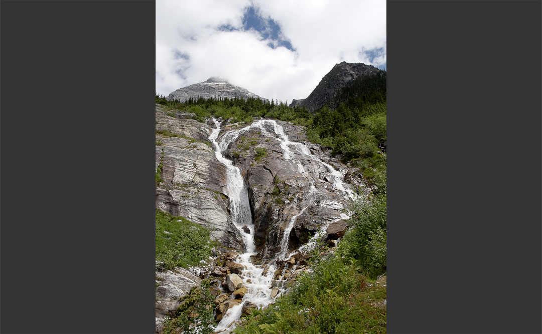
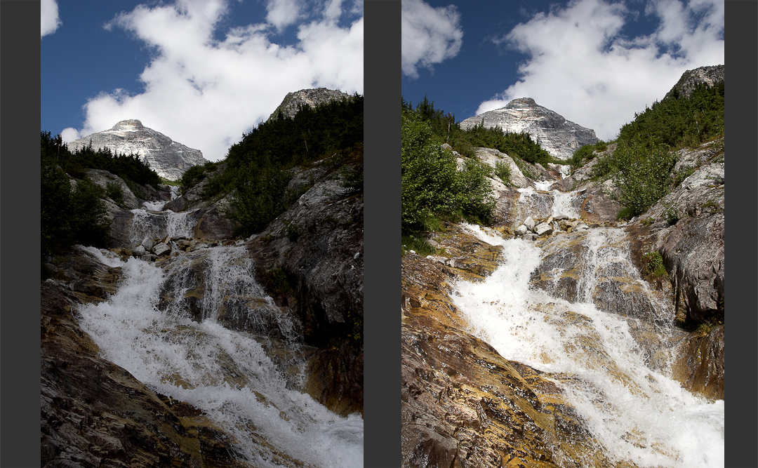
crossing a creek coming down from sir donald
the trail (center)
crossing another creek
clouds are moving in from the west
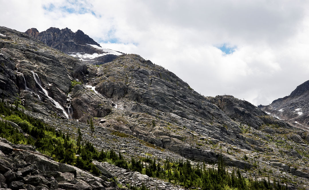
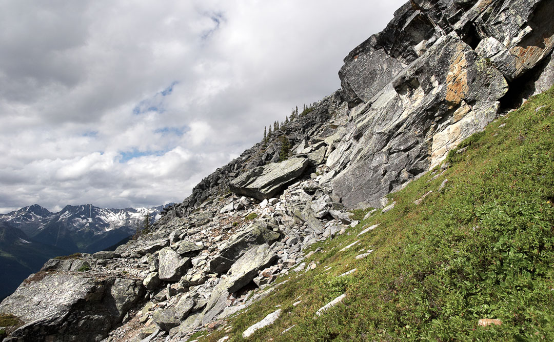
rocky terrain
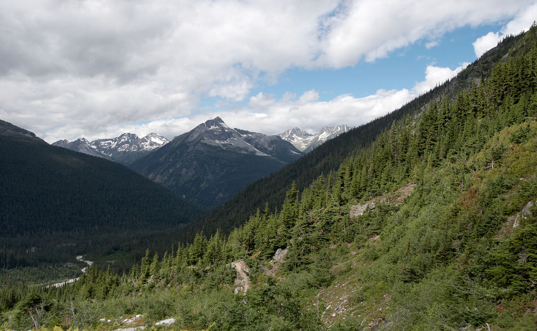
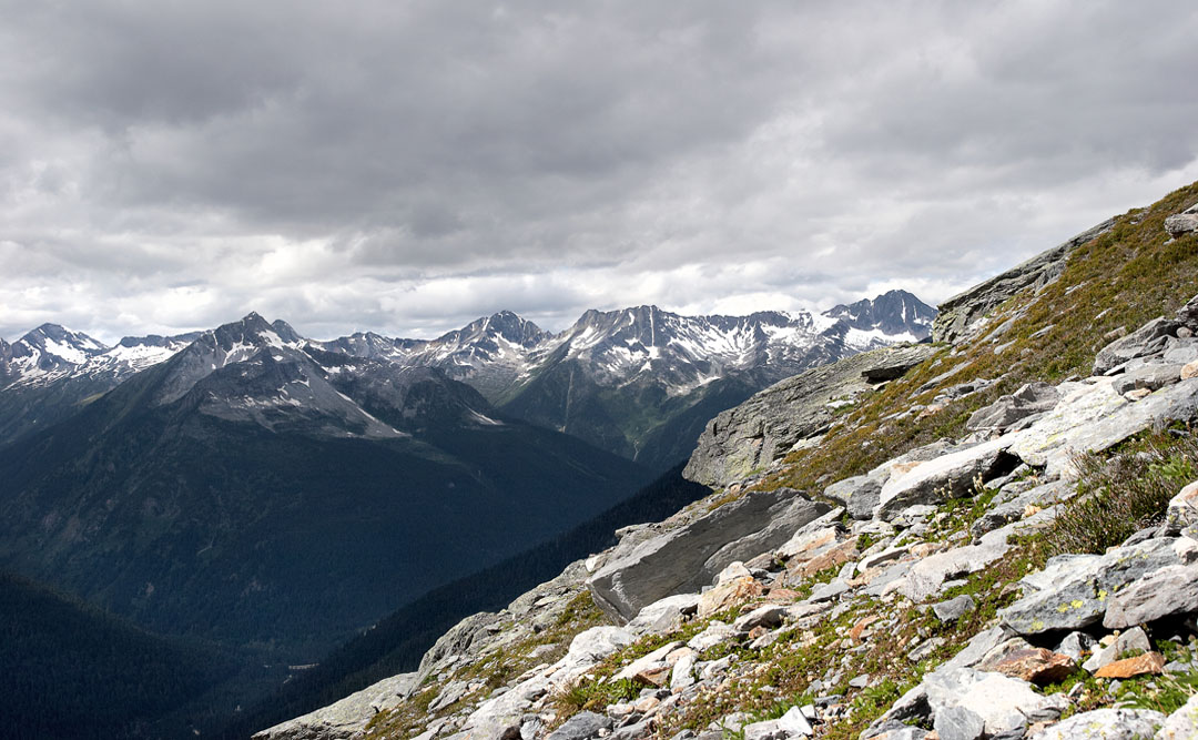
getting higher. rogers pass down below
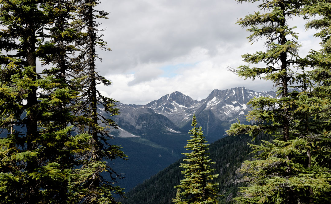
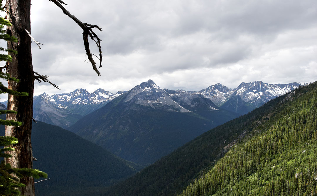
above tree line. mt abbott far right
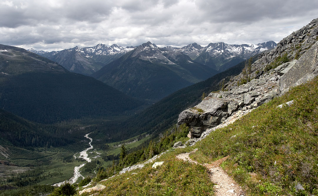
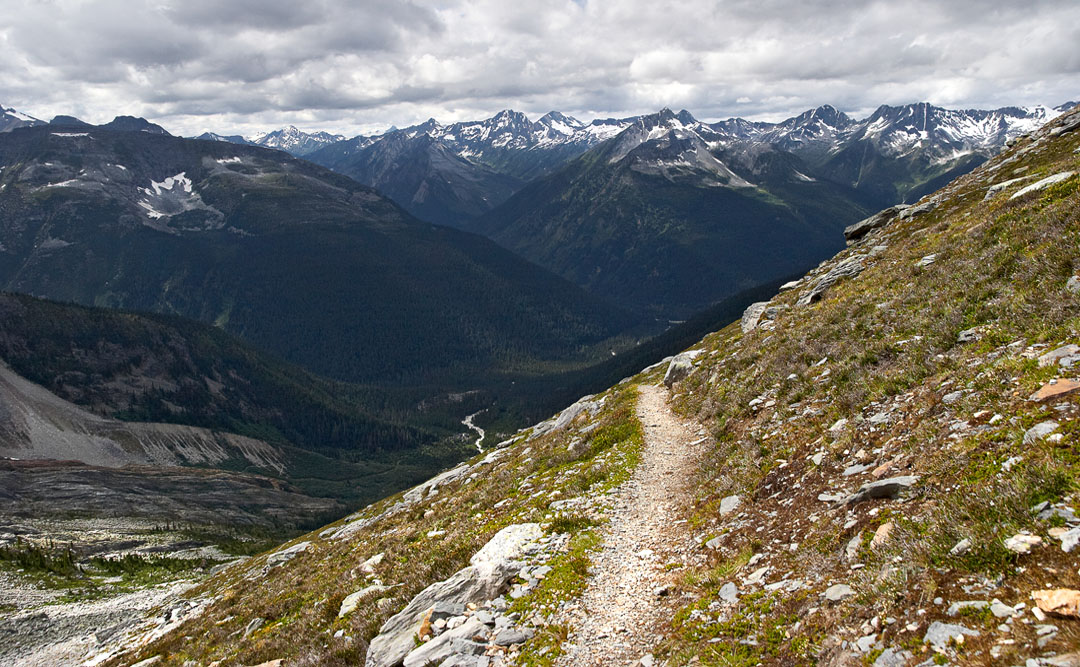
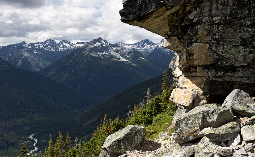
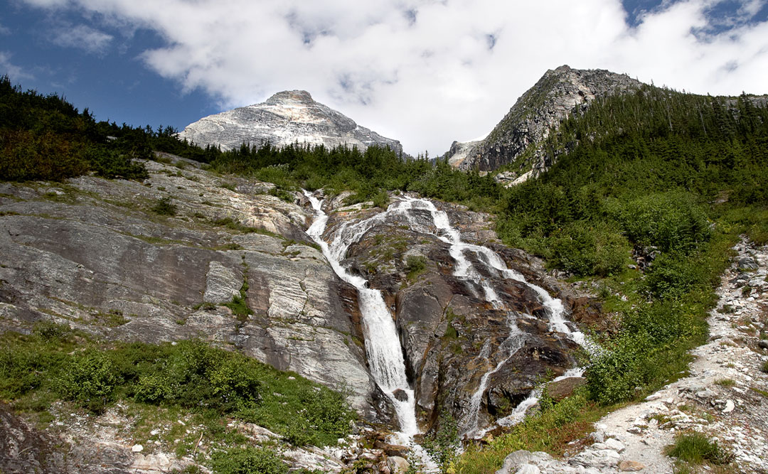
the trail and the valley
looking west. saphire col in the distance
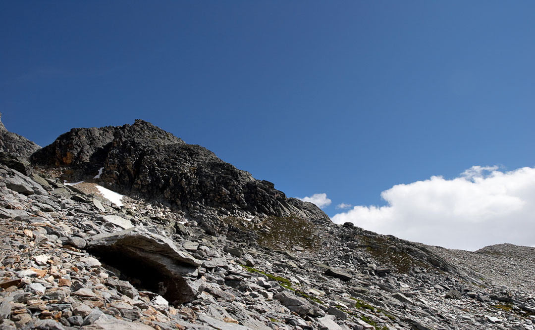
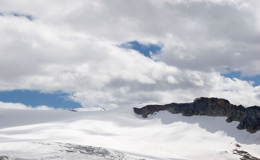
perley rock
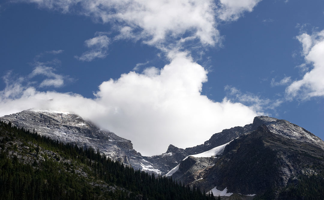
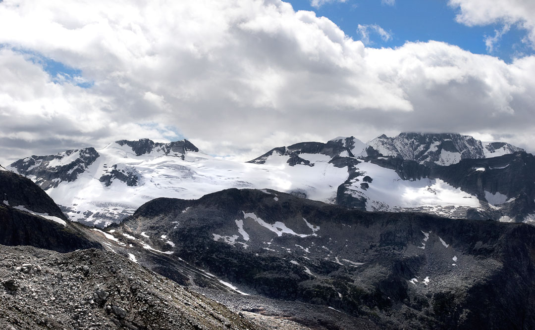
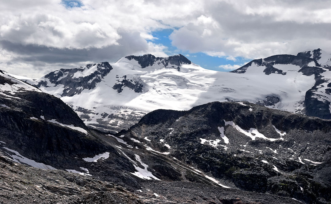
saphire col. mt bonney in clouds
rogers pass
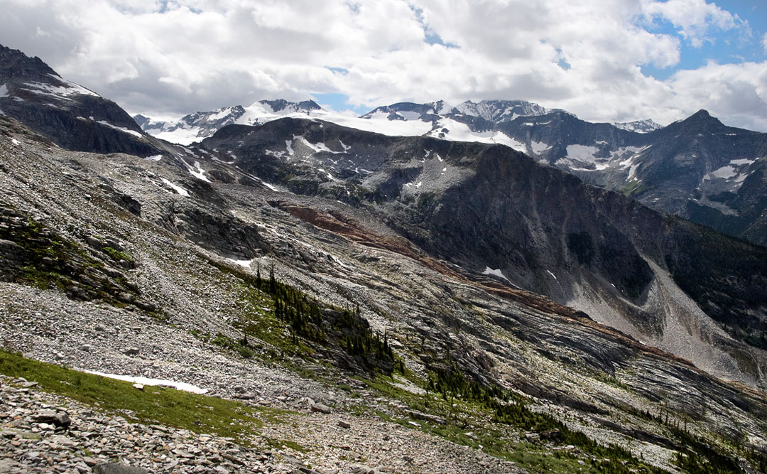
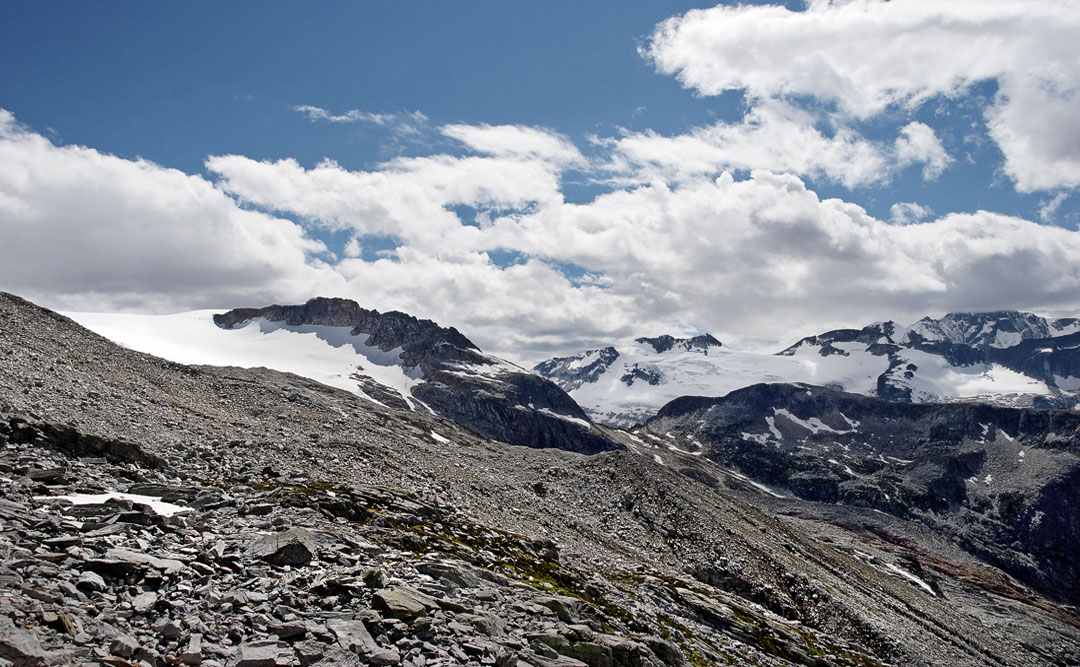
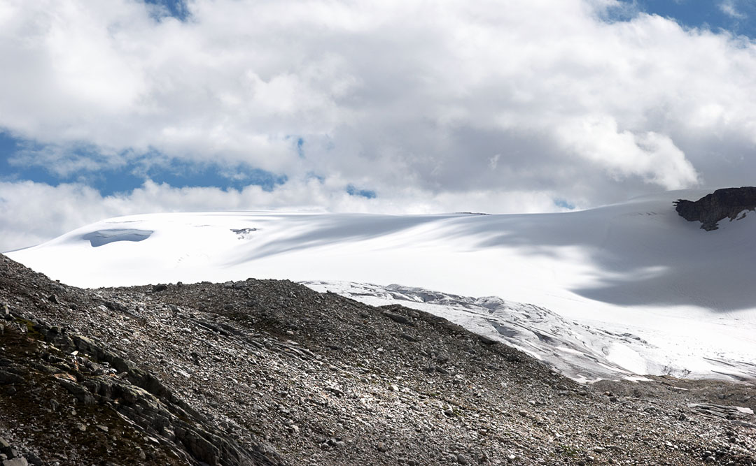
the icefield south of perley rock
sapire col with glacier crest in front of it (the black ridge)
white melange
the trail (hiking back)
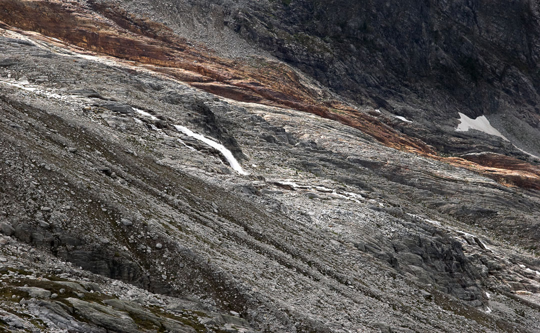
colours
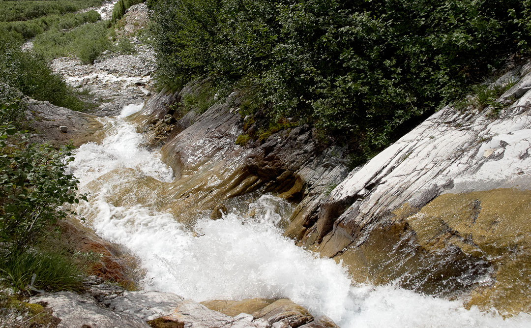
illecillewaet river
rocks
the trail
light and shadow
the trail companion
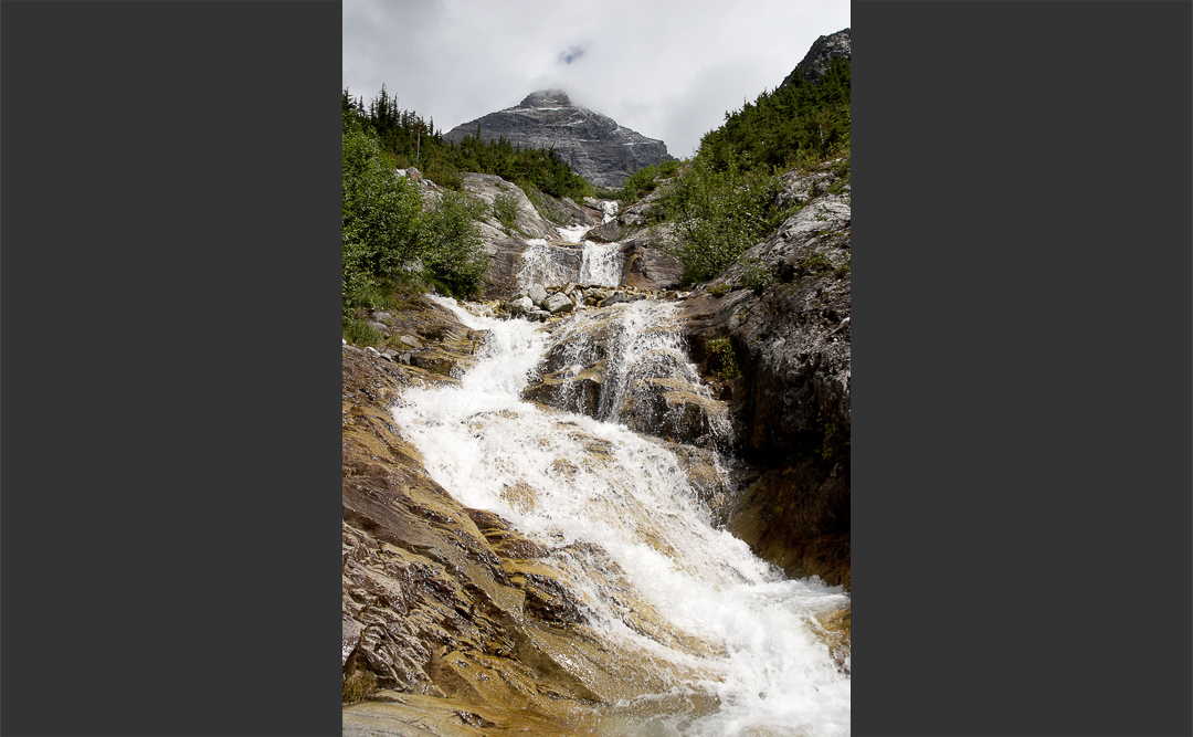
a creek and a trail
mt. sir donald
back in the valley
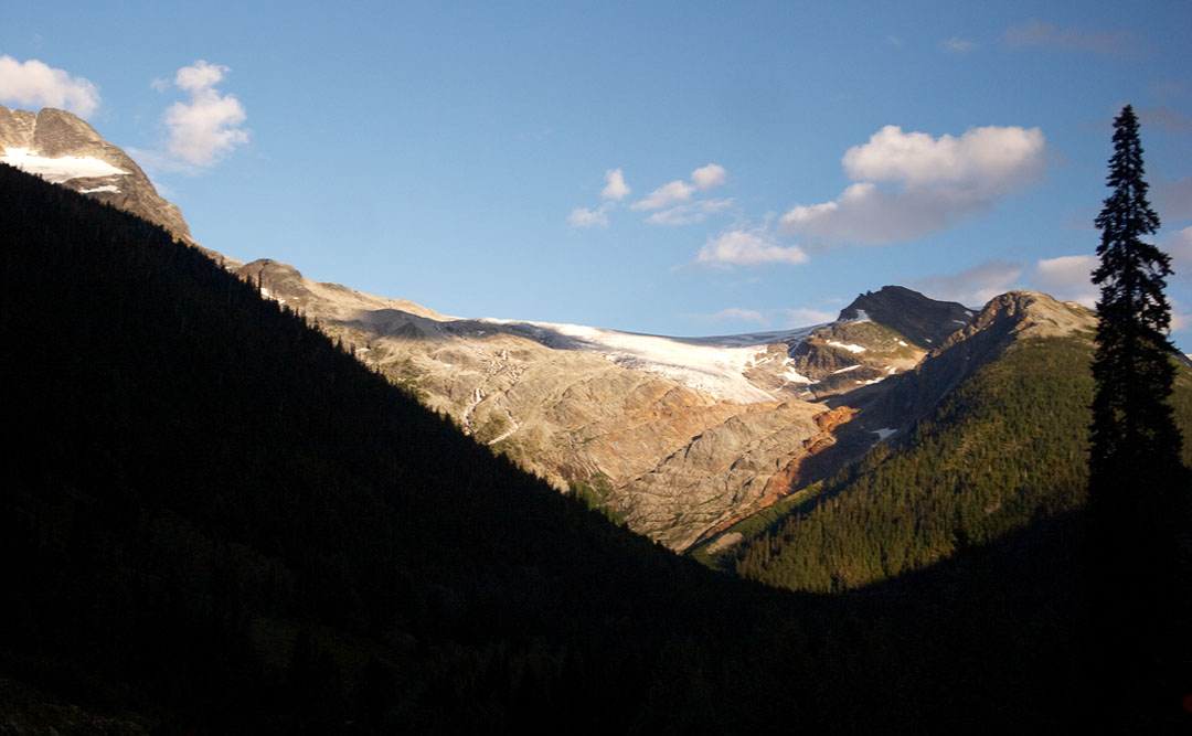
sunset over perley rock (left)
@ opti-male
↑
This website uses cookies. When you continue to use this website I´m assuming your consent. / Diese Website benutzt Cookies. Wenn du die Website weiter nutzt, gehen wir von deinem Einverständnis aus.
OK
Datenschutzerklärung