home
europe
canada
u s a
law stuff (rechtliches)
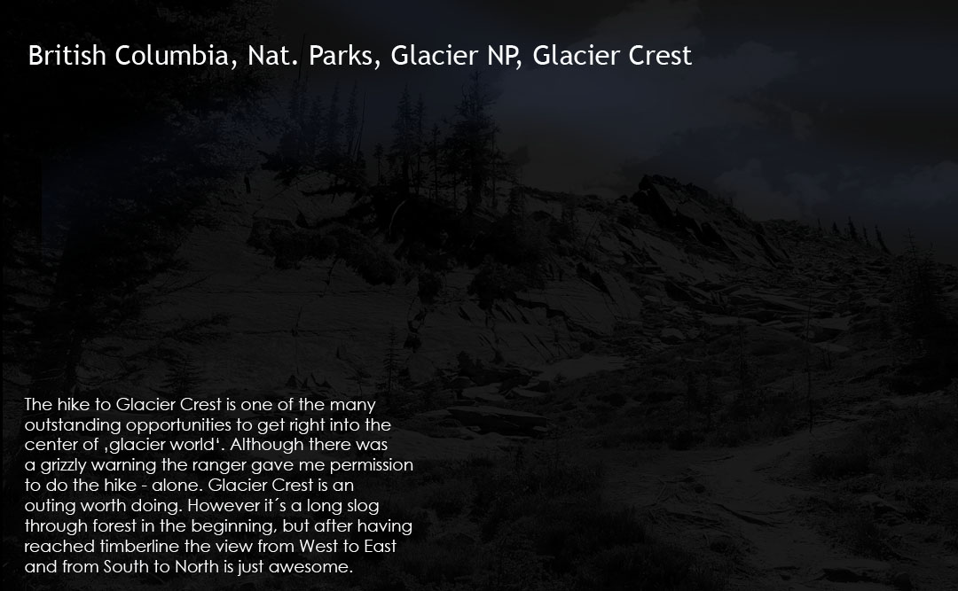
bc nat. parks / glacier nat. park /
glacier crest
_canada_
b.c.
glacier nat.park
<
>
images as slide show
area map
info text
early in the morning
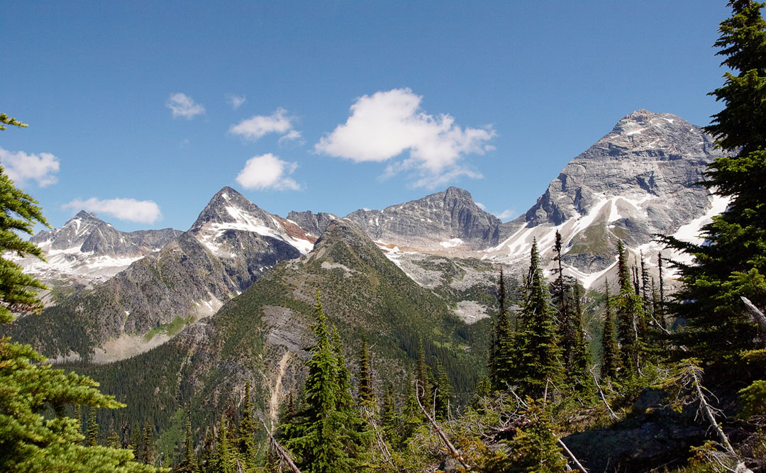
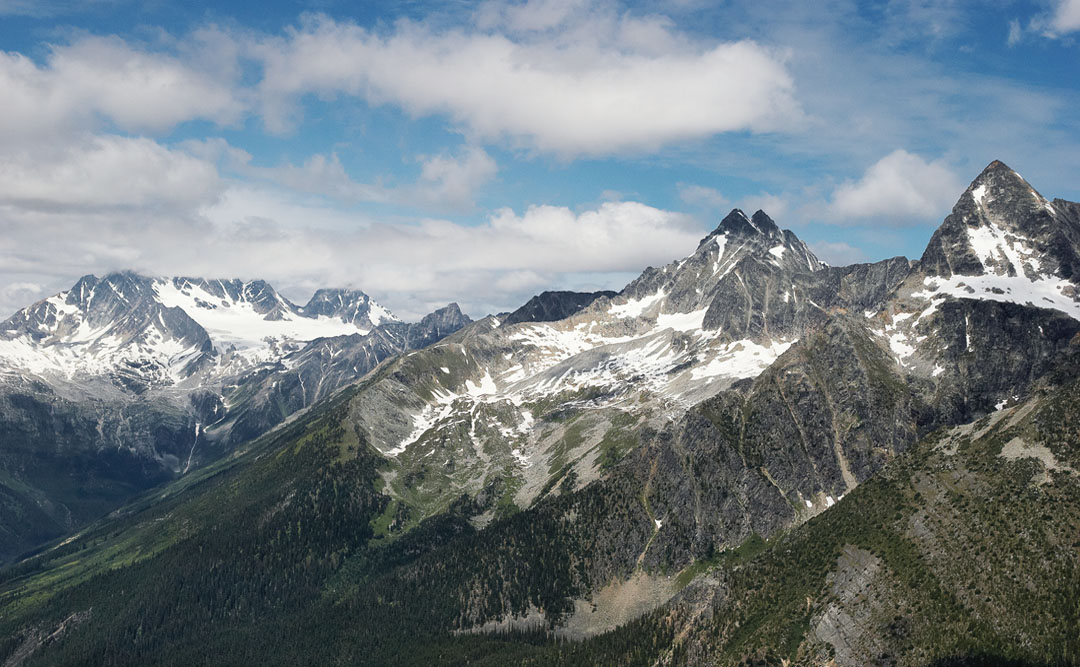
from right to left: mt.sir donald, uto peak and eagle peak
the hermits from trail
uto peak (center)
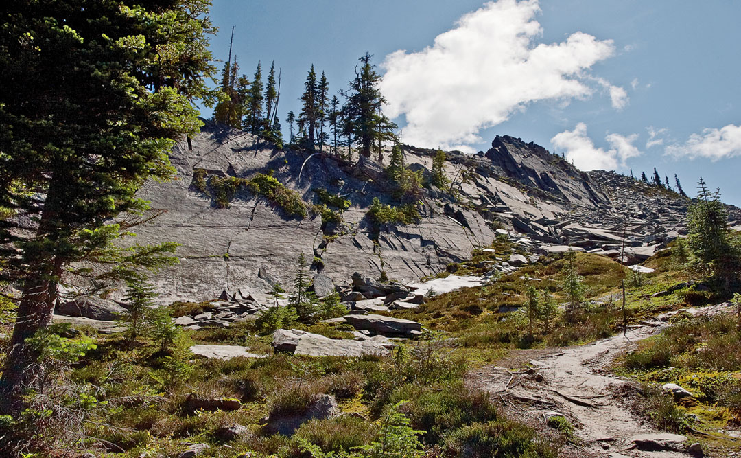
the trail after endless and strenuous switchbacks
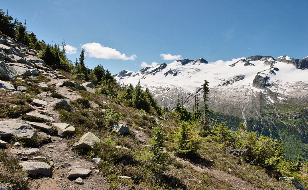
saphire col
where is the trail ?
saphire col
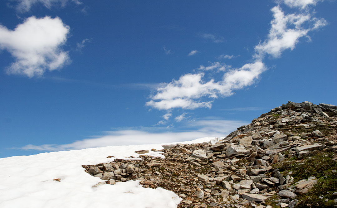
crossing a snow patch....
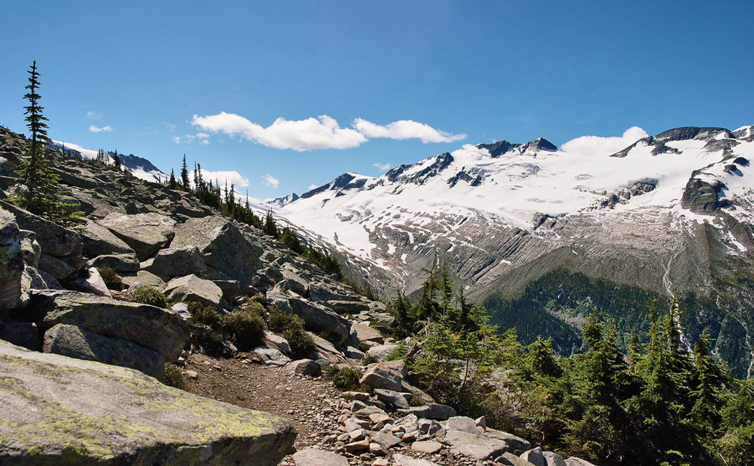
...while saphire col is getting closer (notice the rock structure below the glacier)
the tiny perley rock with the remnants of illecillewaet glacier to the right of it
hovering fuzzy cloud
black & white impression
the perley rock trail as seen from the glacier crest trail
the upper part of perley rock trail - a steep venture
the hermits (left)
colour puzzle at eagle peak (left)
end of trail on glacier crest
looking back towards rogers pass
mt. sir donald
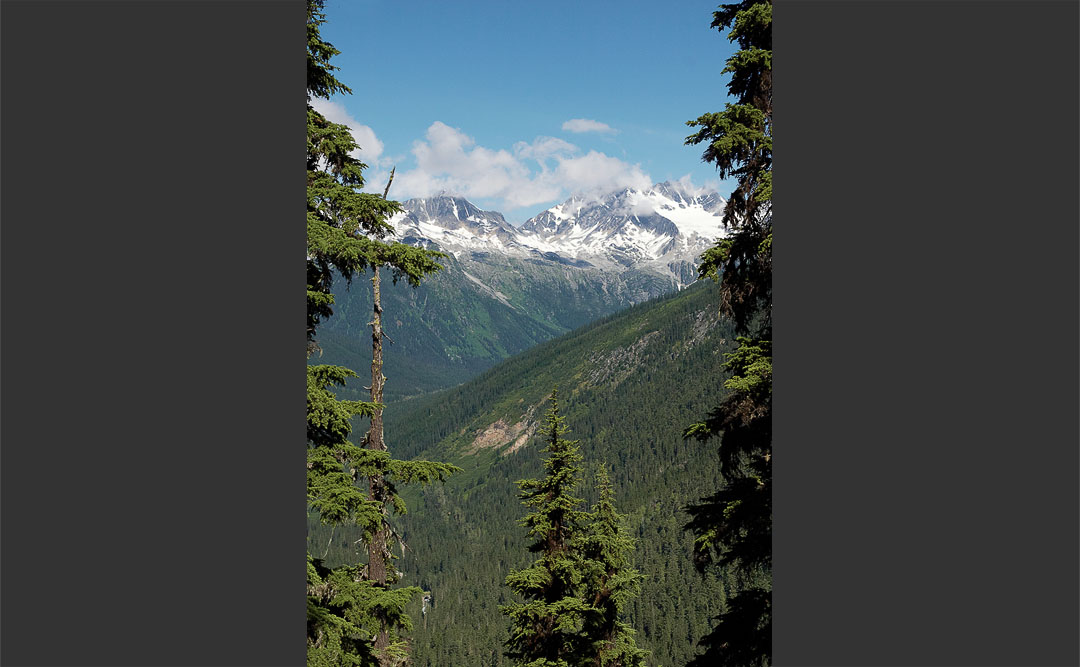
looking south towards asulkan range and glacier
endless....
artistic clouds
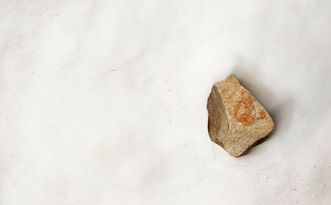
lonely rock
the rampart slopes
icemelt is rushing downhill
asulkan pass (center), saphire col (right)
hiking back, mt. sir donald in view
sapire col
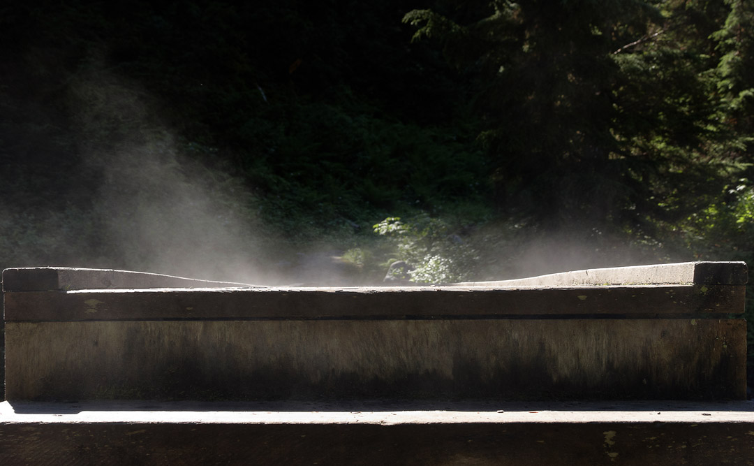
asulkan brook is meetin illecillewaet river
illecillewaet river
illecillewaet river and sir donald
@ opti-male
↑
This website uses cookies. When you continue to use this website I´m assuming your consent. / Diese Website benutzt Cookies. Wenn du die Website weiter nutzt, gehen wir von deinem Einverständnis aus.
OK
Datenschutzerklärung